SenThIS
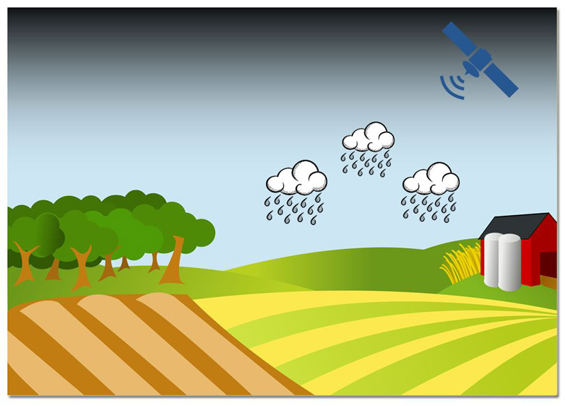
There are more and more remote sensing satellites orbiting our Earth. One of these satellite programmes has been initiated by the European Union: the Copernicus program, which is dedicated to observing the Earth from space. A whole series of satellites were built and put into orbit. All satellites are named Sentinel combined with a number. This number indicates the area of the electromagnetic spectrum used by the satellite and the main sphere under observation (e.g. land, ocean, and atmosphere).
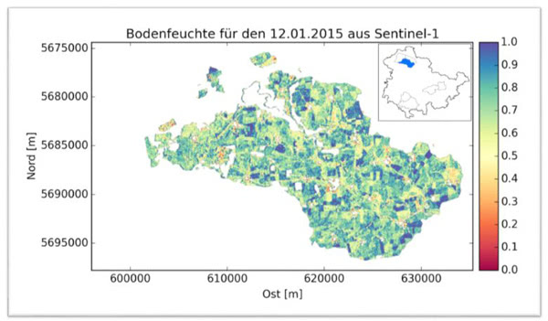
In the project “Sentinels for Thuringian Information Systems (SenThIS)”, where we cooperated with the Thuringian State Institute for the Environment and Geology (TLUG), we examined if the data provided by Sentinel-1 could be transferred to useful information, e.g. for hydrological modeling and flood forecasting.


