There are different kinds of satellites, which can be categorized into approximately five different groups, the first of which are communication satellites (e.g. communication media like TV, radio and telephone) followed by navigational satellites (e.g. GPS), weather satellites (e.g. to make weather forecasts), military satellites (e.g. spy missions, communications and other objectives unknown to the public) and scientific satellites (e.g. space exploration and earth observation) which contribute to the knowledge expansion and everyday life of ourspecies.
In total there are about 1.200 active satellite circling the Earth. Besides them, there are thousands of particles of different sizes called space debris, which are the remains of rockets and abandoned satellites (if they have not been de-orbited). These objects may be a threat for active satellites and have to be constantly tracked.
4. What does GIS stand for and what does it encompass?
GIS stands for Geographic Information System. These computer data systems are capable of and designed for capturing, storing, analyzing, and displaying geographically referenced information. Geographically referenced information describes information that has been complemented with the geographic locations of that information.
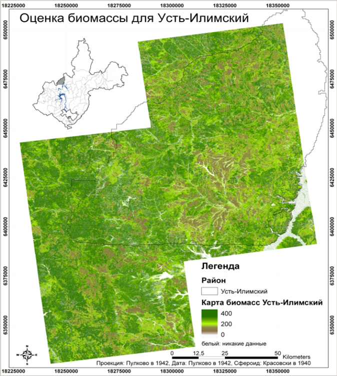
A GIS consists of several components such as hardware, software, data and people. The hardware involved consists of a computer or server that is able to load large quantities of data (raw data) and is able to facilitate graphic manipulation of this data. One of the most important components of a GIS is the software, which provides the opportunity to interpret the data and turn it into new information using different kinds of algorithms, software tools and additional information such as e.g. roadmaps, elevation models or weather prediction models to get new insights with regard to our environment. Another key element in a GI-System is the remote sensing data. Last but not least, it’s the people that work with GI-Systems that have to possess the necessary knowledge to interpret and visualize these new insights, so as to make sure they are relevant and understood by those who depend on this new information for their decision making process.

